STREAMS, RIVERS AND SPRINGS
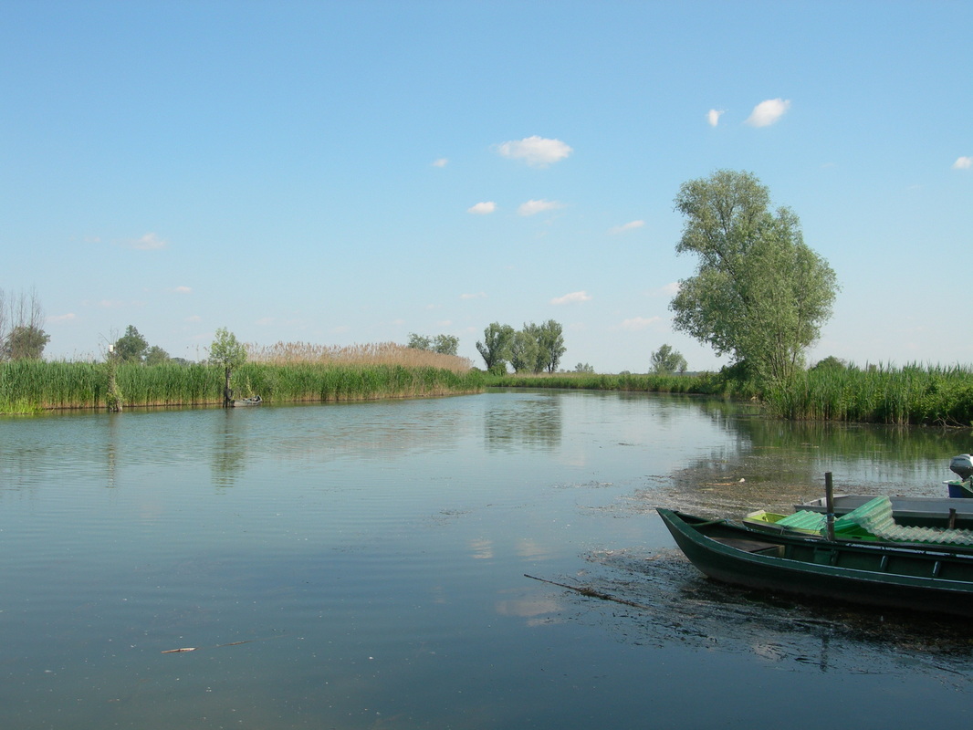
The Mincio River and the Mantua lakes
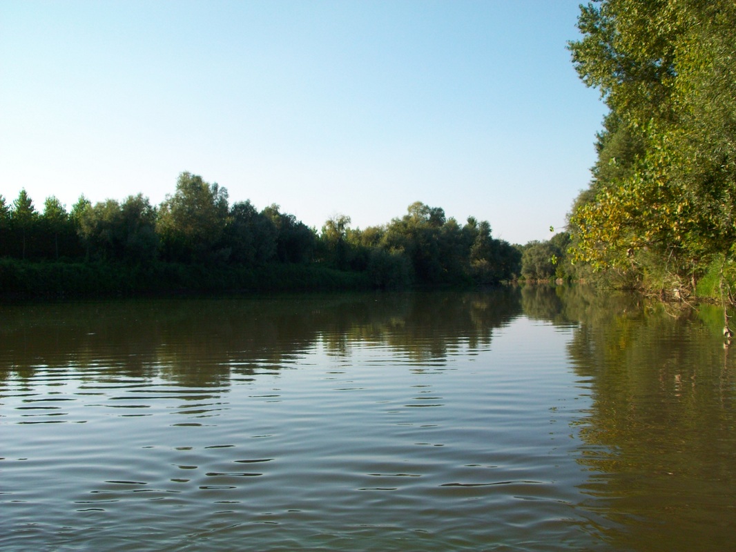
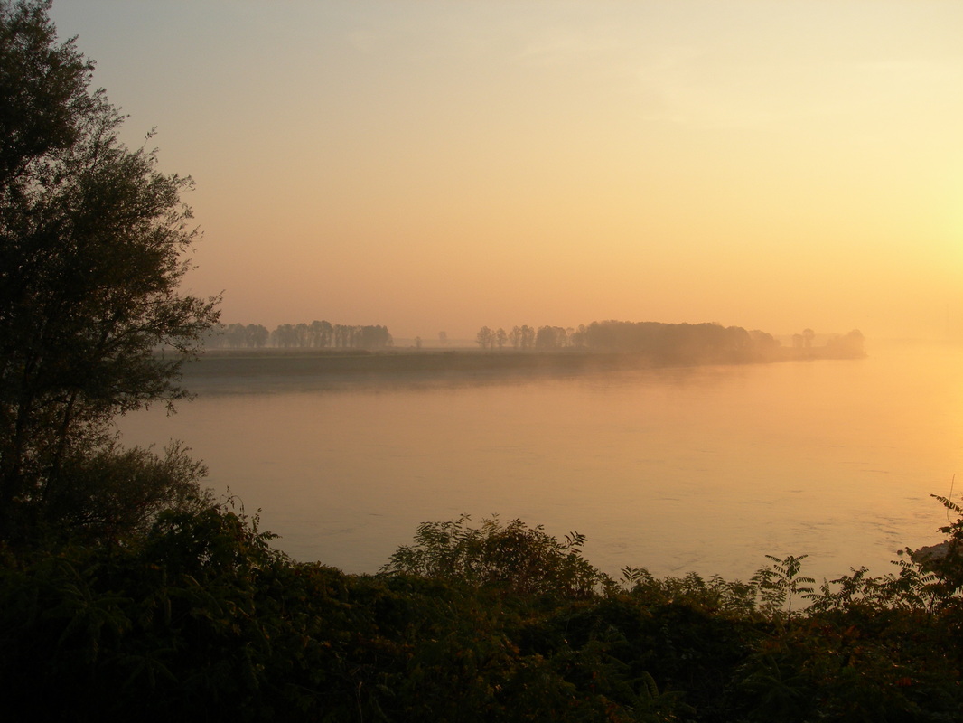
The Mincio
River is composed by adjacent
reaches characterized by different levels of ecological integrity, morphology, and
hydrological regime. Our study considered a high plain reach (northern trait),
similar to its reference status, a channelized low plain reach (southern
trait), and a central reach, similar to a lake due to longer water
retention-time (few days) and slow current velocity. The main objectives of this study were: 1)
compare internal functions of two fluvial segments based on their conservation
state and on the role of the dominant primary producers community (submerged
macrophyte and phytoplankton in the northern and in the southern traits,
respectively); 2) highlight the importance of dissolved gas (O2 e CO2)
exchanges at the water-atmosphere interface on the whole metabolism of the two
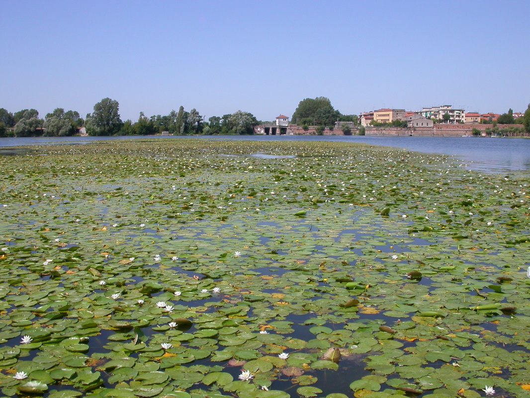
traits; 3) quantify the relative importance of phytoplankton community and of a
pleustophyte stand (Trapa natans) on
the seasonal evolution of the oxygen, carbon dioxide and nutrient mass balances
in a shallow lake.
References
References
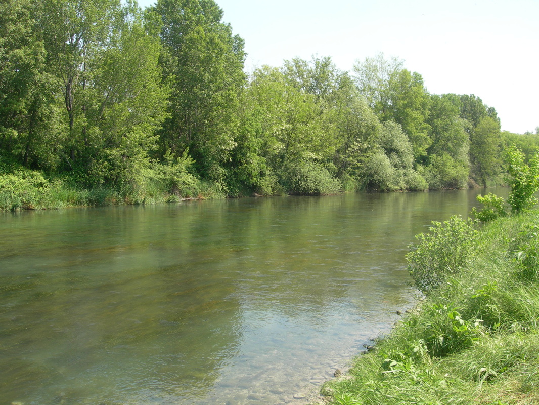
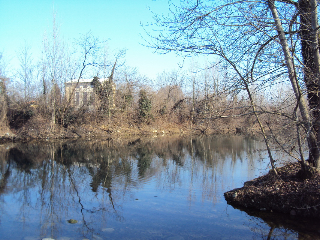
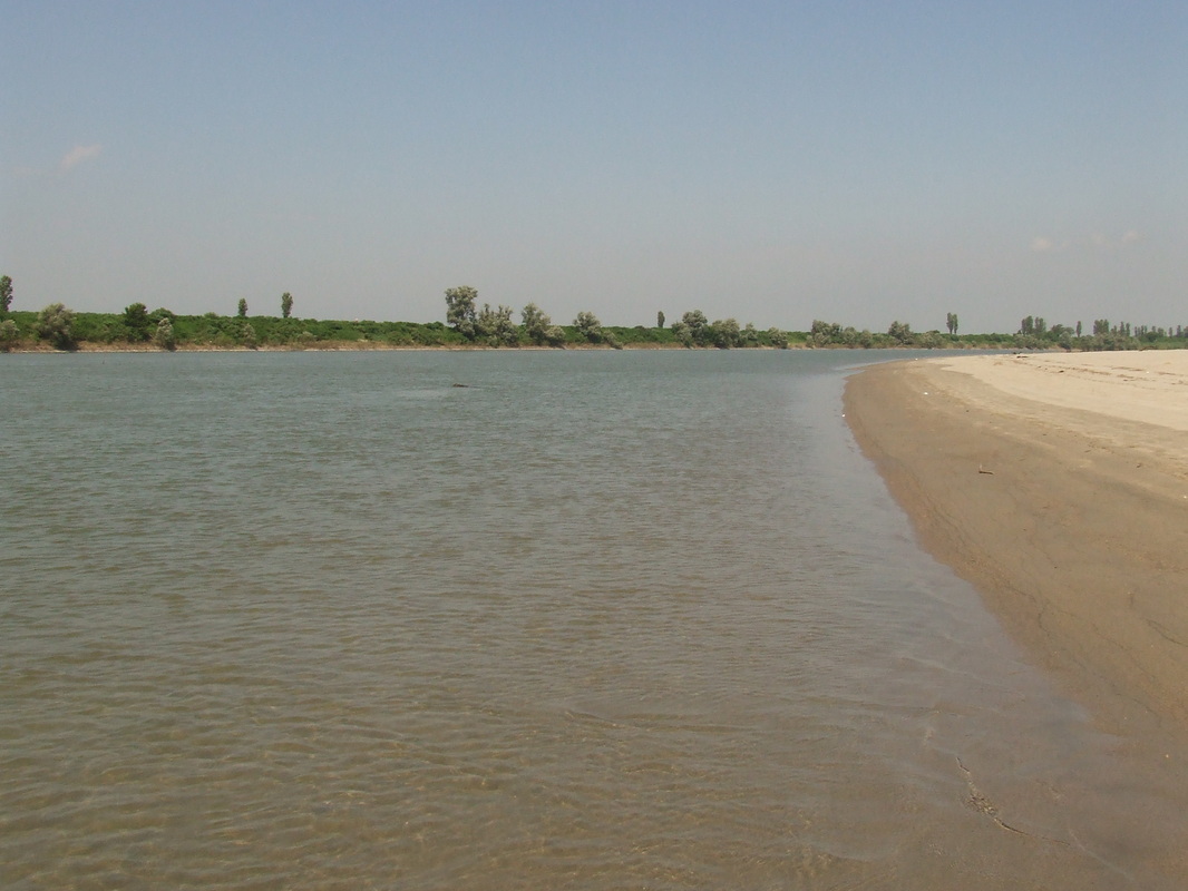
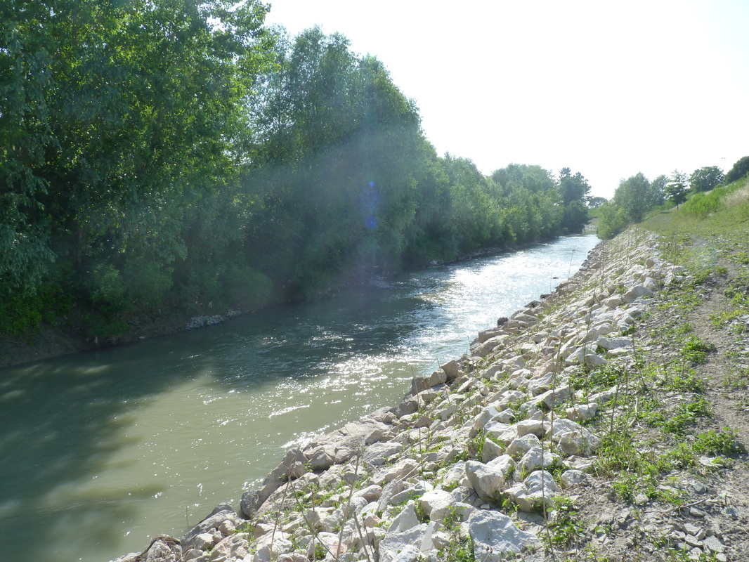
The OGLIO River
With a length of 280 km, the Oglio River is the second longest tributary of the Po River. It present a Northern and a Southern section separated by the Iseo lake. The southern part, originating from the Iseo lake, is the object of a project aiming at evaluation of the environmental flow, since it presents water withdrawals for hydroelectric and agricultural purposes that undermine the health of the river. From 2009, samples of water, macrophytes and macroinvertebrates are taken seasonally in order to evaluate the ecological status of the river by means of the indicators provided by the Water Framework Directive. Moreover, specific experimental designs were adopted to study the response of water chemical-physical characteristics and biological communities to water flow variation.

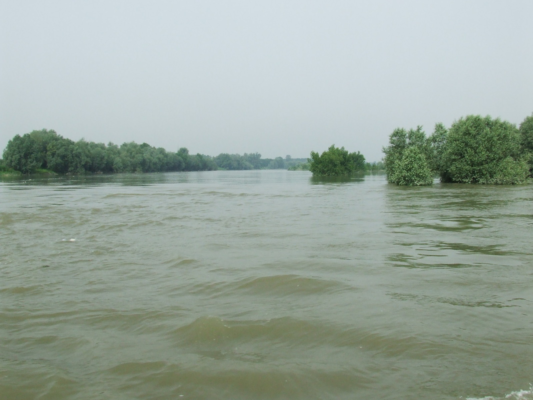
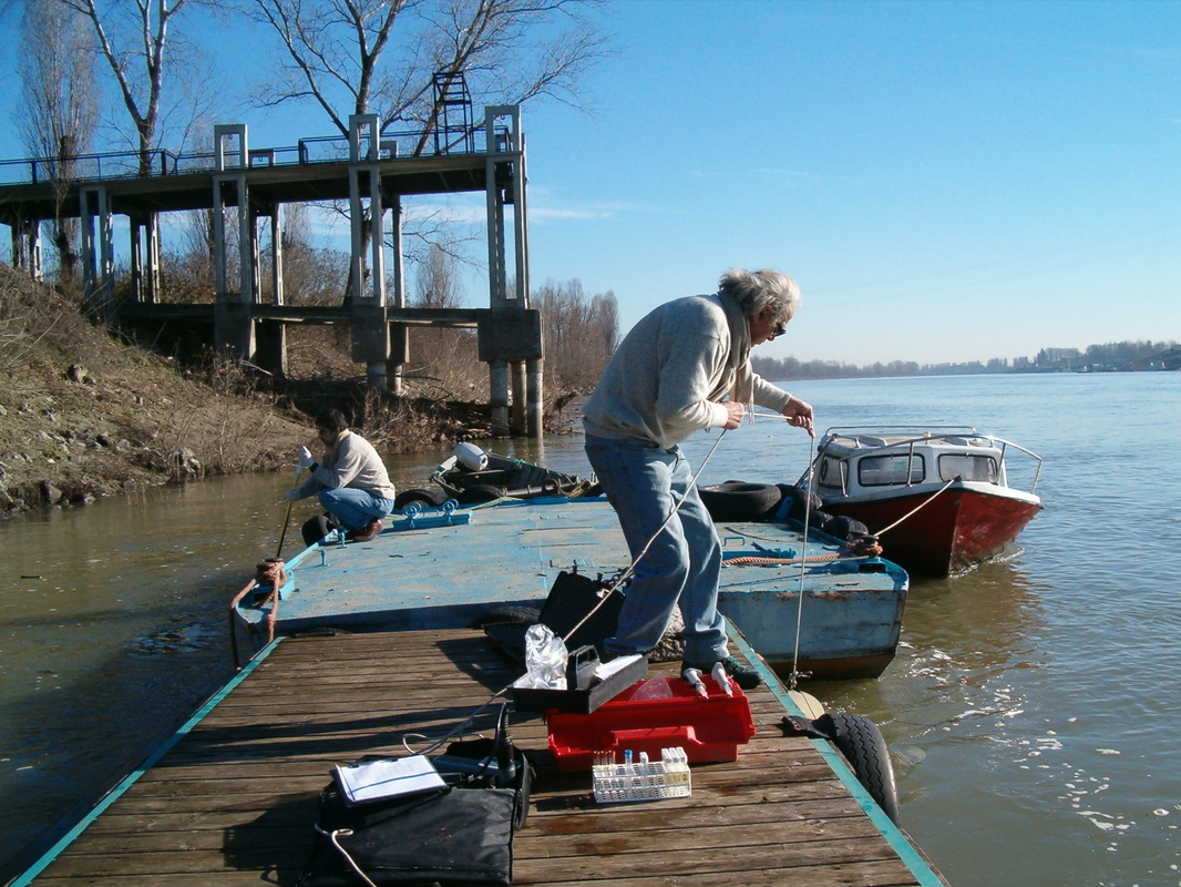
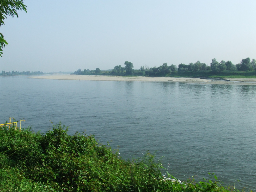
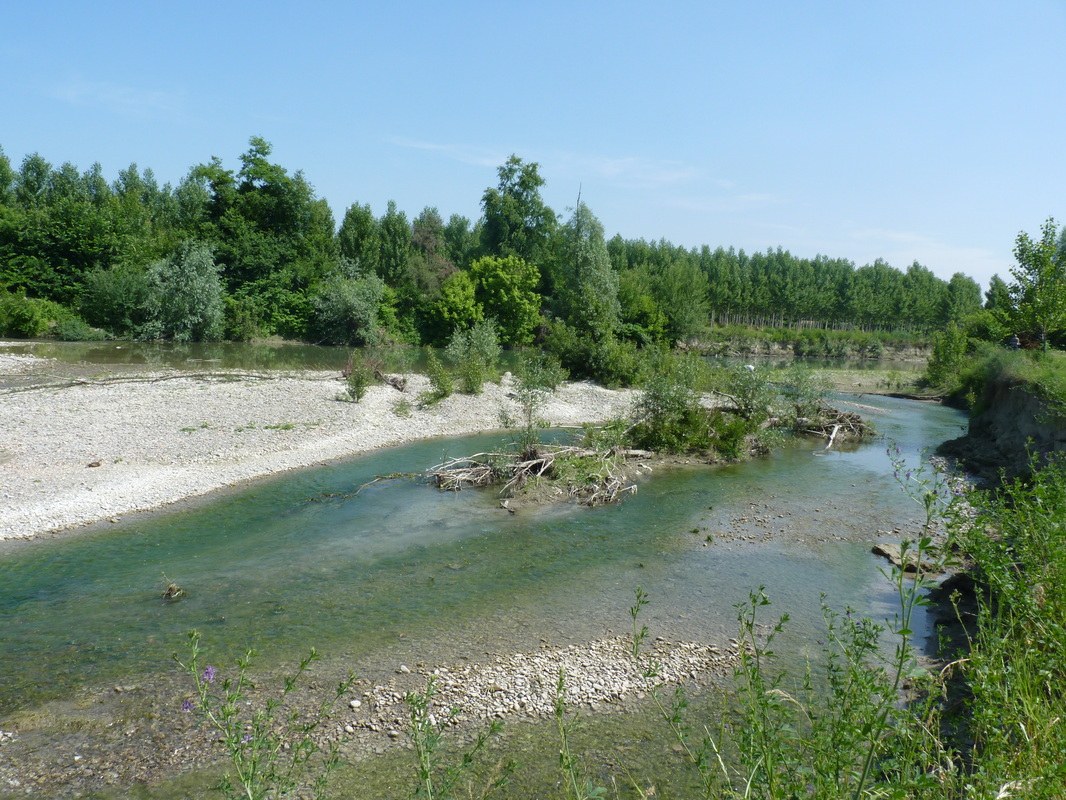
The PO River
Study
of the role of flood events and damming on the N and P loads in the Po River.
Analysis of the nutrient loads (N, P, Si) during flood events at closing
section of the Po River (Pontelagoscuro, Ferrara) from 2003 to 2008. Analysis
of the role of a dam (Isola Serafini, Piacenza) on the evolution of the nutrient
loads in upstream and downstream reaches of the Po River. In-depth analysis of
the possible impacts of further dams along the Po River as a strategy for water
management.
The PARMA stream
Nitrogen mass balance with the Net Anthropogenic Nitrogen Input (NANI) approach

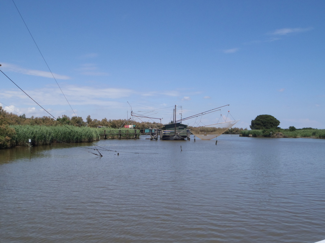
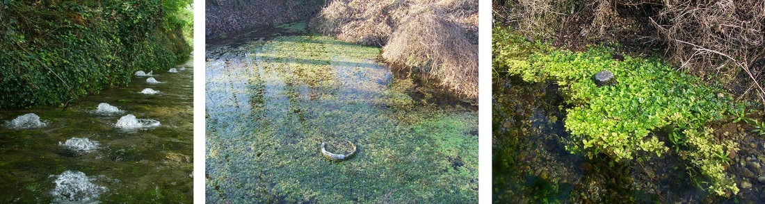
FONTANILI (lowland springs)
Lowland springs are a typical feature of the Po River plain (Northern Italy) and are caused by the resurgence of water from groundwater to the surface due to changes in sediment permeability. Lowland springs have a mean annual temperature of 15°C,
nearly constant throughout the year, and are completely dependent on
groundwater. This situation makes these springs a suitable environment for cold
stenotherm flora and fauna, and they hold interesting communities of
macrophytes,
invertebrates and vertebrates. In 2004 twenty-eight springs were studied in order to asses the diversity of ostracod fauna. There is also an ongoing study on the distribution of the red algae genus Batrachospermum in this peculiar environments. Despite their importance as biodiversity hotspots, lowland springs are located in an heavily impacted area from agricultural activities that deteriorates groundwater quality. During 2009-2012 we studied the effects of the nutrient ricycle from groundwater, greenhouse gas emission and herbicide contamination in nearly 20 springs pread across the Po plain.
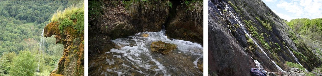
Mountain Springs
Spring
biodiversity of Emilia Romagna region has been studied at different spatial and
temporal scales, focussing mainly on invertebrate (macro and meio) fauna. In
detail, twenty springs from a protected area were studied in order to describe
morphology and hydrochemistry of springs and to analyse invertebrate
distribution patterns. Springs included in the EBERs project (Exploring
Biodiversity of Emilia Romagna springs) are more widespread and representative
of major lithological and groundwater typologies of whole study area, allowing
to address the question of regional constraints that shape invertebrate
assemblages. A focus is also currently in progress in a restricted area, the
Mt. Prinzera, an ophiolitic outcrop in the Parma province. Here, seasonal
samplings are carried out in both temporary and permanent springs. In addition,
diversity and distribution of ostracod faunas associated with Palearctic
ambient springs and on the ecological factors that have been reported to affect
their occurrence. This work is aimed at identifying biogeographical patterns of
ostracods at continental and regional scales, and revealing environmental
gradients that shape ostracod communities in a multi-scale approach.